Thematic Atlas of the Ústí region
summarises information about the Ústí nad Labem region in the form of maps, graphs and tables. It provides a brief overview of the state and development of the region in seven basic areas.


For analysts
Interested in more detailed data?
If you are an analyst or statutory employee and would like access to more detailed data about the region, we would be happy to create a login access to the dataset for you. Fill out the form and we will attend to your request.
Information about data
The data in the Atlas is for 2023, unless otherwise stated.
Data sources
Czech Statistical Office, Ústí nad Labem region and its organisations, Ministry of Industry and Trade, Ministry of Labour and Social Affairs, Ministry of the Environment, Ministry of Culture, CzechInvest, CzechTourism, Czech Hydrometeorological Institute
Map sources:
ArcGIS ESRI, Ústí nad Labem region, State Administration of Land Surveying and Cadastre Photographs provided under courtesy of the Ústí nad Labem region.
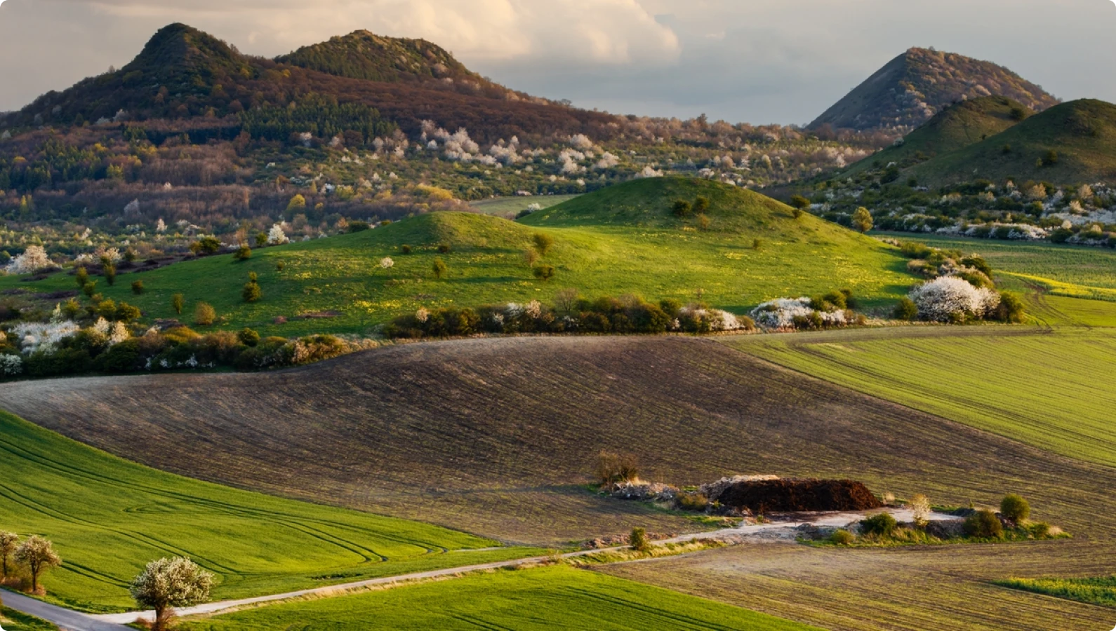
Photographs provided under courtesy
of the Ústí nad Labem region
Preparation and processing:
Regional Development Agency of the Ústí nad Labem region
Data collaboration:
Data Centre of the Ústí nad Labem region